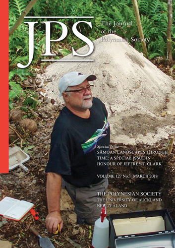
The Sāmoa Archaeological Geospatial Database: Initial description and application to settlement pattern studies in the Sāmoan Islands.
DOI:
https://doi.org/10.15286/jps.127.1.35-54Abstract
Jeff Clark's archaeological research on Eastern Tutuila Island provided the first regional scale settlement pattern data in American Samoa that could be meaningfully compared to earlier data drawn from projects on the archipelago's western islands, Savaiʻi and ʻUpolu. Building on Clark's work, in this paper we generate a spatial and temporal geodatabase incorporating 900 archaeological sites and 520 age estimates spanning the entirety of the Sāmoan Islands. The Sāmoa Archaeological Geospatial Database is useful for addressing a number of regional research questions using spatial and temporal data at multiple geographic scales; however, preliminary work must first be conducted to convert site data into comparable lower-scale analytical units. To highlight this process, we provide an example drawn from Clark's archaeological surveys in ʻAoa Valley, Tutuila Island. Finally, we suggest that a siteless survey approach is necessary to generate comparable data for settlement pattern and landscape analyses.
Downloads
Published
Issue
Section
License
Copyright © 2024 by the Polynesian Society (Inc.)
Apart from any fair dealing for the purposes of private study, research, criticism, or review, as permitted under the Copyright Act, no part of this publication may be reproduced by any process without written permission.
Inquiries should be made to:
Dr Marcia Leenen-Young, Editor
The Polynesian Society
c/o School of Māori and Pacific Studies
The University of Auckland
Private Bag 92019, Auckland
New Zealand
email: m.leenen@auckland.ac.nz


